Land Listing Package
Aerial photos + one cinematic flyover video of your plot, with boundary overlay. The standard for serious listings.
From IDR 3,000,000
Aerial photography & video for land listings in Lombok — boundary-accurate drone photos and cinematic flyovers for owners, agents, and developers. You don't even need to visit the site: send us the details, we locate, shoot, and deliver listing-ready in 48 hours.
A phone photo of an empty plot tells a buyer nothing. Where are the boundaries? How far is the beach? What does the access road look like? Most buyers of Lombok land are overseas — they decide from a screen, thousands of kilometers away.
Aerial photos + one cinematic flyover video of your plot, with boundary overlay. The standard for serious listings.
From IDR 3,000,000
Large-area coverage for subdivisions and resort sites. Progress documentation, marketing media, and top-down mapping shots.
From IDR 4,000,000
Monthly shooting slots for agencies with rotating listings. Priority scheduling, one consistent style across your portfolio.
Monthly — from IDR 5,500,000
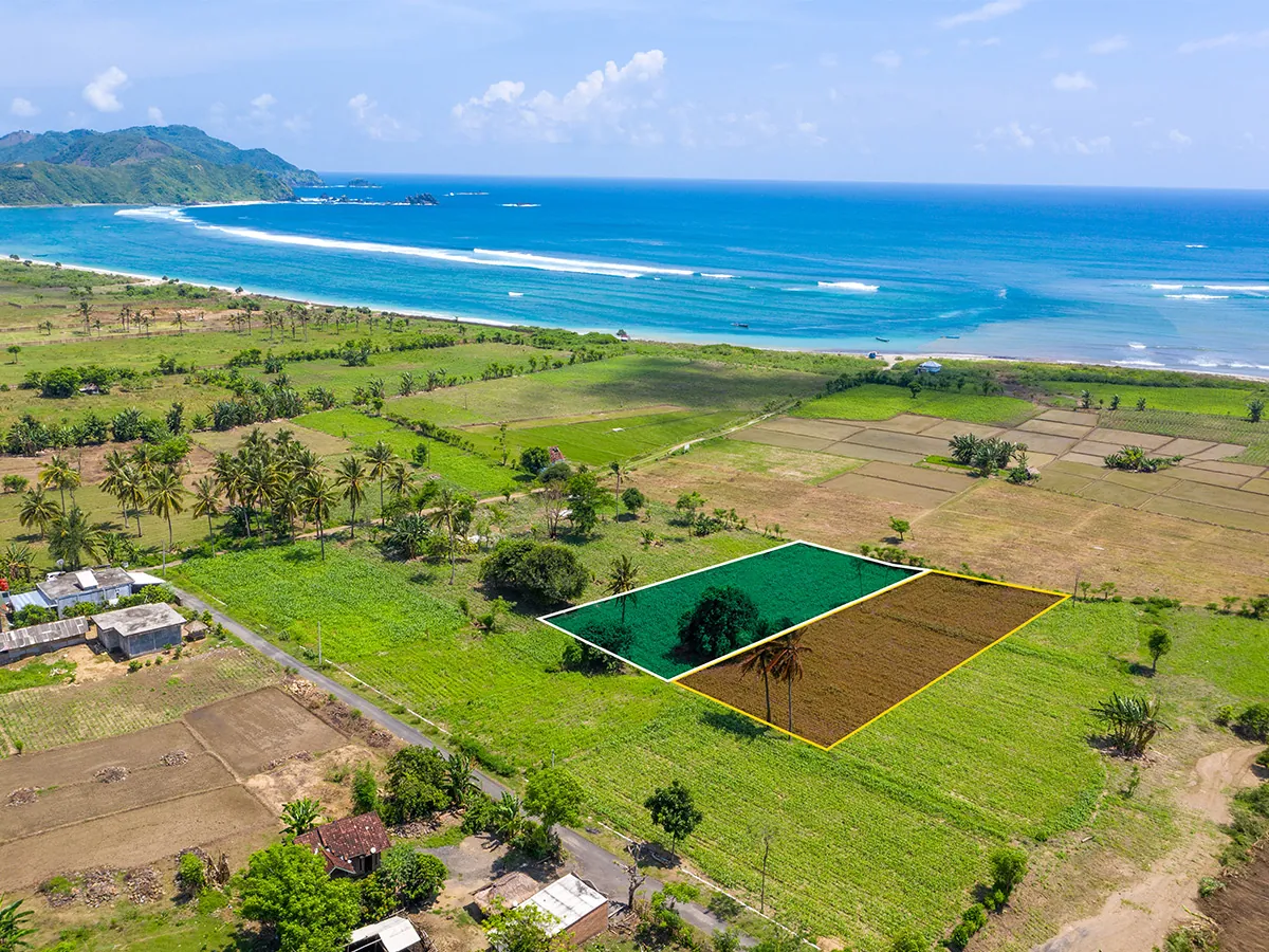
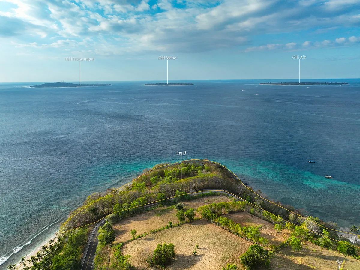
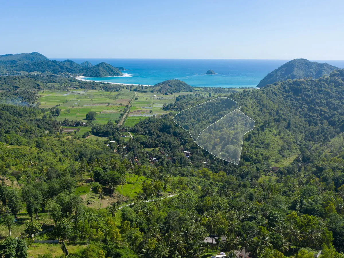
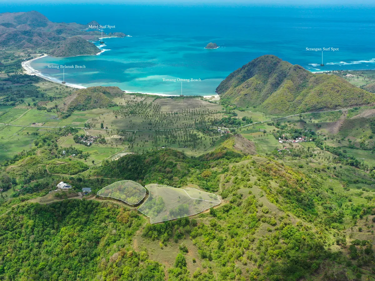
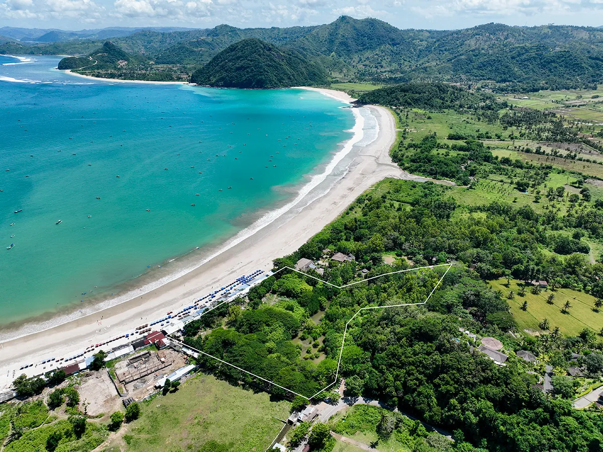
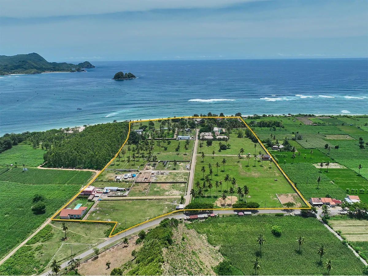
No meeting on location, no showing us around. Send the plot details from anywhere in the world — we independently locate and verify the land, then shoot. Owners in Europe or Australia use us without ever leaving home.
In editing, we track and draw the exact plot lines over the aerial footage — so buyers see precisely where the land starts and ends, in both photos and video.
We've documented over 500 land plots across Lombok. We know the terrain, the light, the access roads — and what makes a buyer stop scrolling.
Before flying, we discuss what actually sells this location — the view, the beach distance, the road access — and build the shots around it. It's marketing, not just documentation.
Licensed drone operation, flown safely around villages, beaches, and protected areas.
Edited, labeled, and formatted for your listing platform — photos, video, and boundary overlays.
We sold our plot three weeks after the aerial photos went up. The boundary overlay answered the one question every buyer kept asking.
I was overseas the whole time. Sent a location pin on WhatsApp, had the full listing set in my inbox two days later.
Every listing we shoot with them gets noticeably more enquiries. The flyover videos do the selling for us.
Land listing packages at Lombok Land Aerials start from IDR 3,000,000 depending on plot size and location. A standard package includes aerial photos, a flyover video, and a boundary overlay, delivered within 48 hours.
Yes. If you provide corner coordinates or meet us on-site with the boundary points, we overlay accurate plot lines and markers on the aerial images.
Yes — Kuta, Selong Belanak, Tanjung Aan, Sekotong, Senggigi, the Gili Islands, and everywhere in between. We also travel to Sumbawa for developer projects.
Yes — this is our most common request. You don't need to be on-site or send anyone to show us the location. Share the plot details with us and we independently locate and verify the land, shoot it, and deliver everything via Google Drive. Having shot more than 500 plots across Lombok, this is our standard workflow.
We trace the plot lines during editing and draw them directly over the aerial photos and video — so the exact shape and edges of the land are visible at a glance, with no guesswork for the buyer.
Standard delivery is 48 hours after the shoot. Same-week scheduling is usually possible, weather permitting.
Photos show the plot, boundaries, and surroundings clearly for listings. A flyover video shows the approach, terrain, and view direction — it's what makes overseas buyers feel the land. Serious listings use both.
Send us your location pin. We'll reply with availability and a quote within a few hours.
Send location pin on WhatsApp Scan to chat — WhatsApp